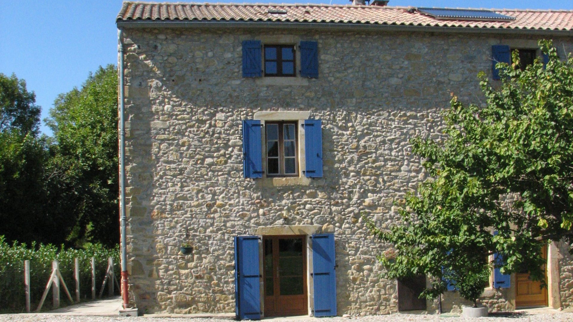
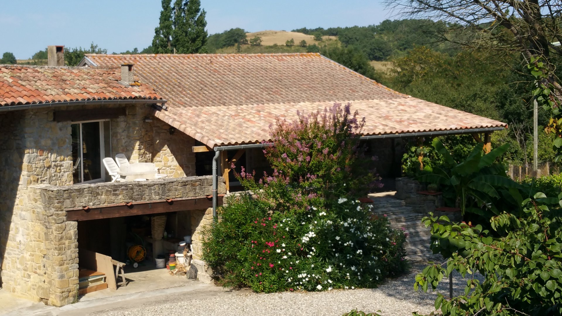
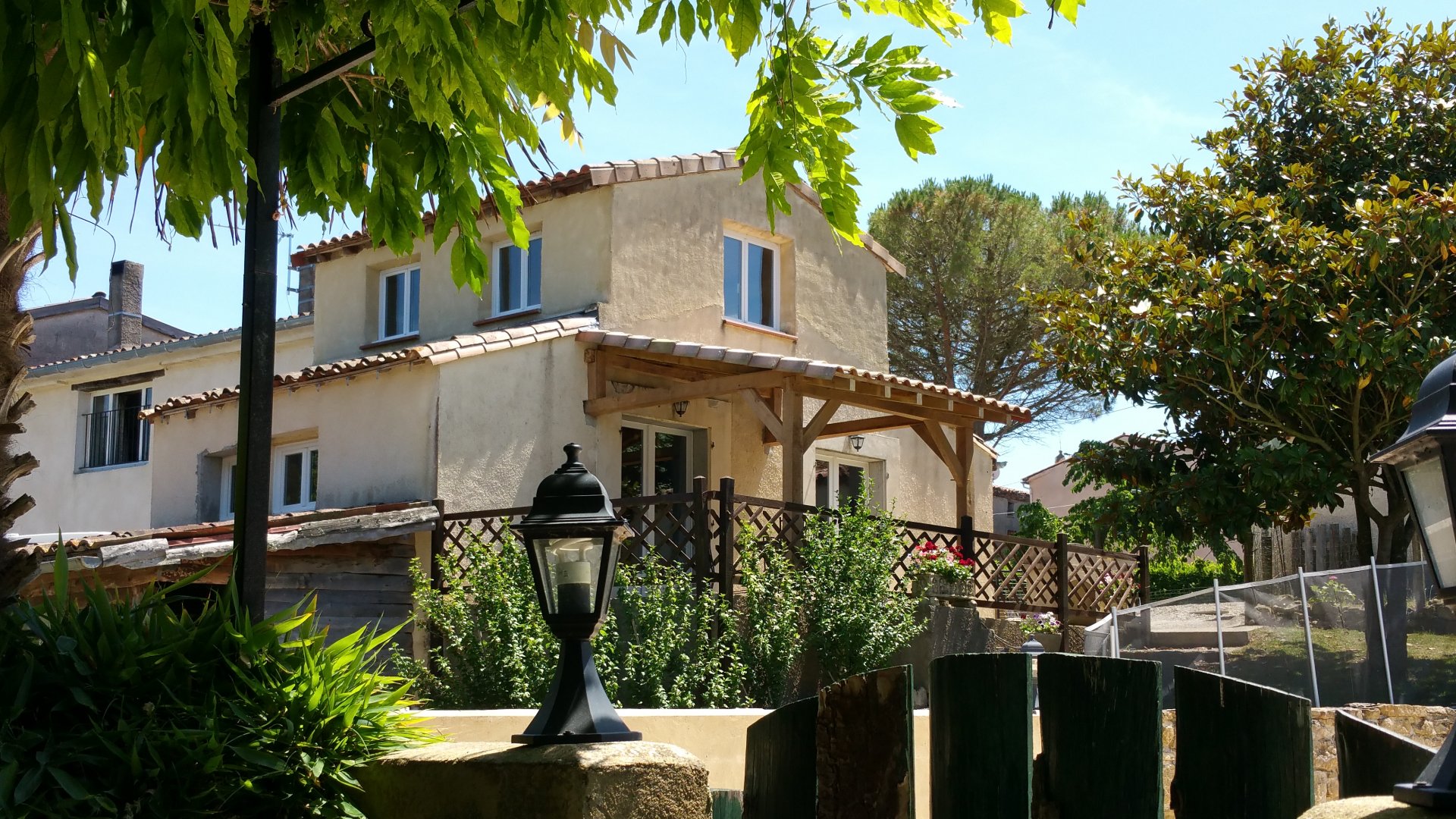
Family-run gîte complex in the Pyrénées near Carcassonne and Mirepoix
Tap or click on each title
to view the page.
As with the walking paths, it is impossible on the scale of the map above to give even an idea of the routes that are available - there are just too many. Instead we use the same 'areas' of routes, with the area names that are used by the guidebooks.
Local routes are cycle tours of up to a couple of hours duration that can be done from the door of the gite, although these routes are short in length, we are in the foothills of the Pyrenees, so a nice gentle flat road can suddenly put a half-kilometer 10% gradient in the way just to wake you up!
Most of our guests cycling from here don't venture beyond the Olmes area. Simply, this area encompasses everything that all but professional cyclists need during a holiday - there are climbs of nearly 1000m ascent and plenty of quiet back roads through lovely scenery with more gentle ascents climbing a few hundred metres or less.
There is a 'green lane' on the old railway track from Mirepoix just outside Super U, to Lavelanet.
The total length is 38 km each way, so it's a full day trip. Family bikes can be hired from Super U for the day.
See the pdf below that has the route as of 2022, if you go from Mirepoix don't miss the right turn after the long bridge
at Roumengoux - if you do the route goes straight on to Bram on the canal du Midi and from there to the Mediterranean!
The 'official' Ariege cycling guide has details for 16 tours of between 20 and 80km. These tours can be downloaded and have maps, full details of changes in height, places to stop for restaurants or supplies and so on. The guide also shows the full 'Tour de l'Ariege' of 450km, but we've yet to find anyone willing to do all of it!
We have copies of these routes, and they are detailed on the Ariege tourism website, but we cannot link directly to them as the site keeps changing and the link becomes quickly out of date. So, we recommend you click this link, then you should find the tours somewhere under 'velo'!
These routes provide a good starting point, but as with (for example) the lake district in England, we have found that it is just as enjoyable to take the map, look at where the route goes, then modify it with your own diversions, places to visit and stopping points.
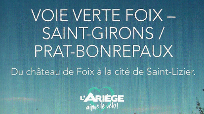
There is a 'green lane' on the old railway track from Foix railway station to Prat Bonrepaux.
See the pdf below that has the route as of 2022.
The Ariege also boasts of 24 'Grand cols' to be tackled - these are climbs from the valley to a mountain pass:
Many visitors also like to retrace the path of the Tour de France. This usually passes through the Ariege, and our Tour de France page shows where the route has gone during the past few years.
The Cerdagne and the Capcir are the names given to two of the ranges of mountains East of the Ariege. With many summits above 2500m, and the Pic Carlit at 2921m, this area takes in some of the higher and more rugged scenery and is only for serious hill climbers who enjoy challenge of hundreds or thousands of metres of ascent and descent with fantastic views and superb scenery.
Closer to the coast, the Aude takes in routes at lower altitudes, often among vineyards, woodland or between river gorges. These routes are generally more level than the Ariege or the Cerdagne, and the countryside is more arid.
We work with a small family business 'Velomondo' based near Lac Montbel, they offer one or many-day hire and have
top end bikes suitable for all the family (including tow-behind attachments).
Bikes can also be hired at cycle shops in Pamiers and Foix, these are ideally placed
for you to take advantage of the nearby specialist VTT centres and also have bike racks available to attach to the car.
More details on
the Velomondo website.
For more inspiration to help you plan a cycling holiday in France, see Freewheeling France , an independent website that covers all manner of things related to cycling in France for fun.