Family-run gîte complex in the Pyrénées near Carcassonne and Mirepoix
Tap or click on each title
to view the page.
We apologise if the first of these images takes a while to load, google needs to send a LOT of pictures to you, but it really is worth the wait to be able to look in all directions as if you were standing outside our gate.
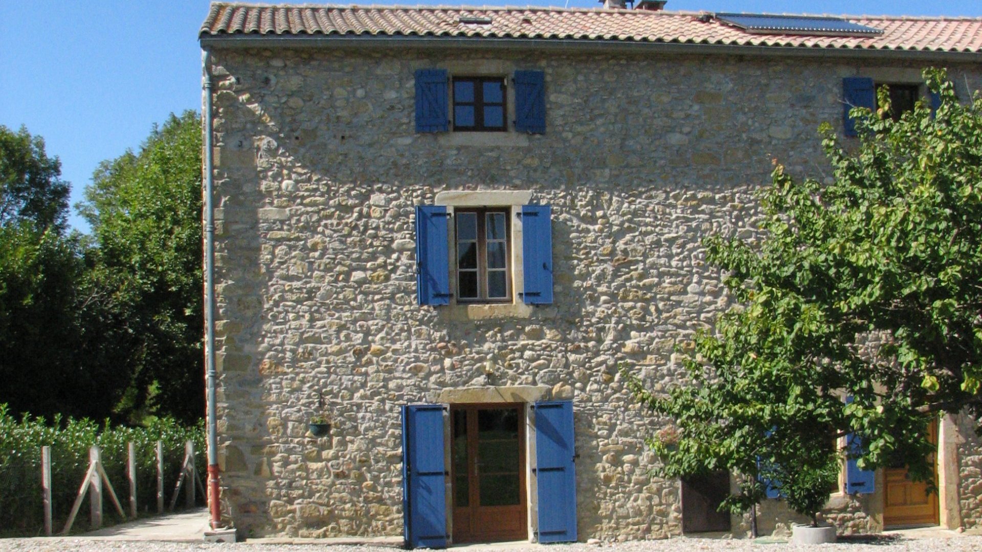
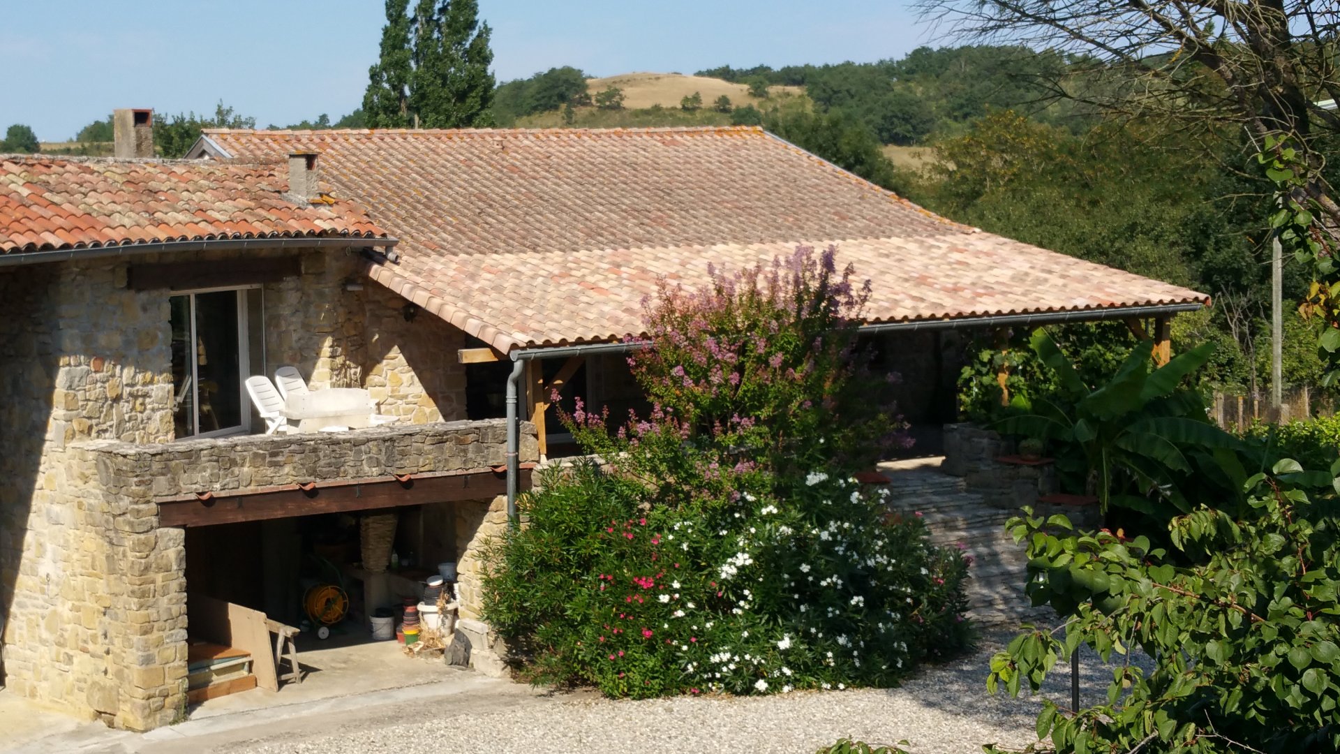
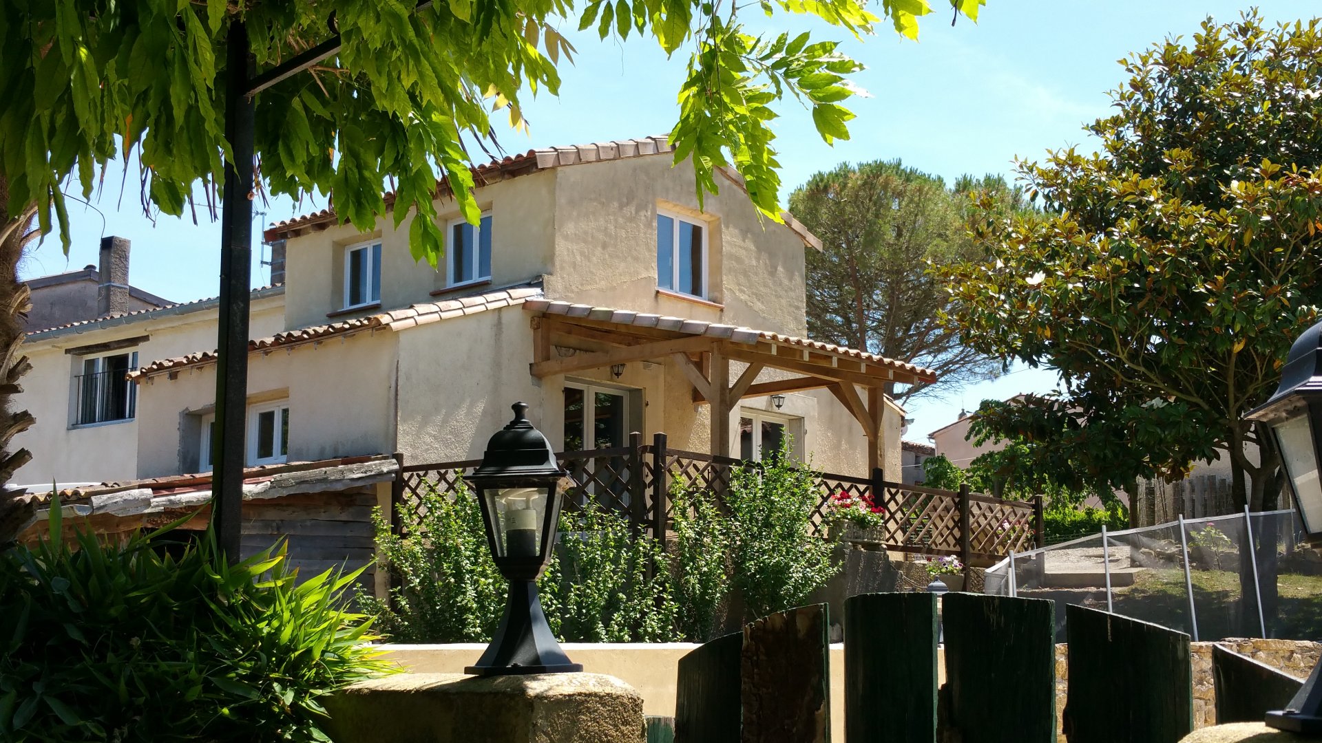
Sadly, we have no control over how often these images are updated, so the pictures of the front of our house with blue shutters are from 2023 or later, whereas those taken from the side or the rear, with brown wooden shutters, are from 2010! We make significant improvements here every year, so please use this as a guide to how things were and look at our own pages for up to date photos of the gites and other buildings.
The image below starts off by showing the outside of gite Bordeaux with the farmhouse and gite Burgundy. The other gites and the pool are through an entrance between the two groups of buildings.
The wonder of streetmap is that the view extends the full 360 degrees to the left and right of the image and above and below it, and Streetmap allows you to see these hidden areas simply by clicking.
As you may know if you are familiar with Streetmap, it works as follows:
The image below shows a satellite view of Hideaway in France on which we have labelled the gites with house symbols and marked in yellow our boundary.
Again, this is a fully interactive map, so you can pinch and swipe to zoom and move around or click and hold your mouse button to move the image around and use the '+' and '-' to zoom in and out.