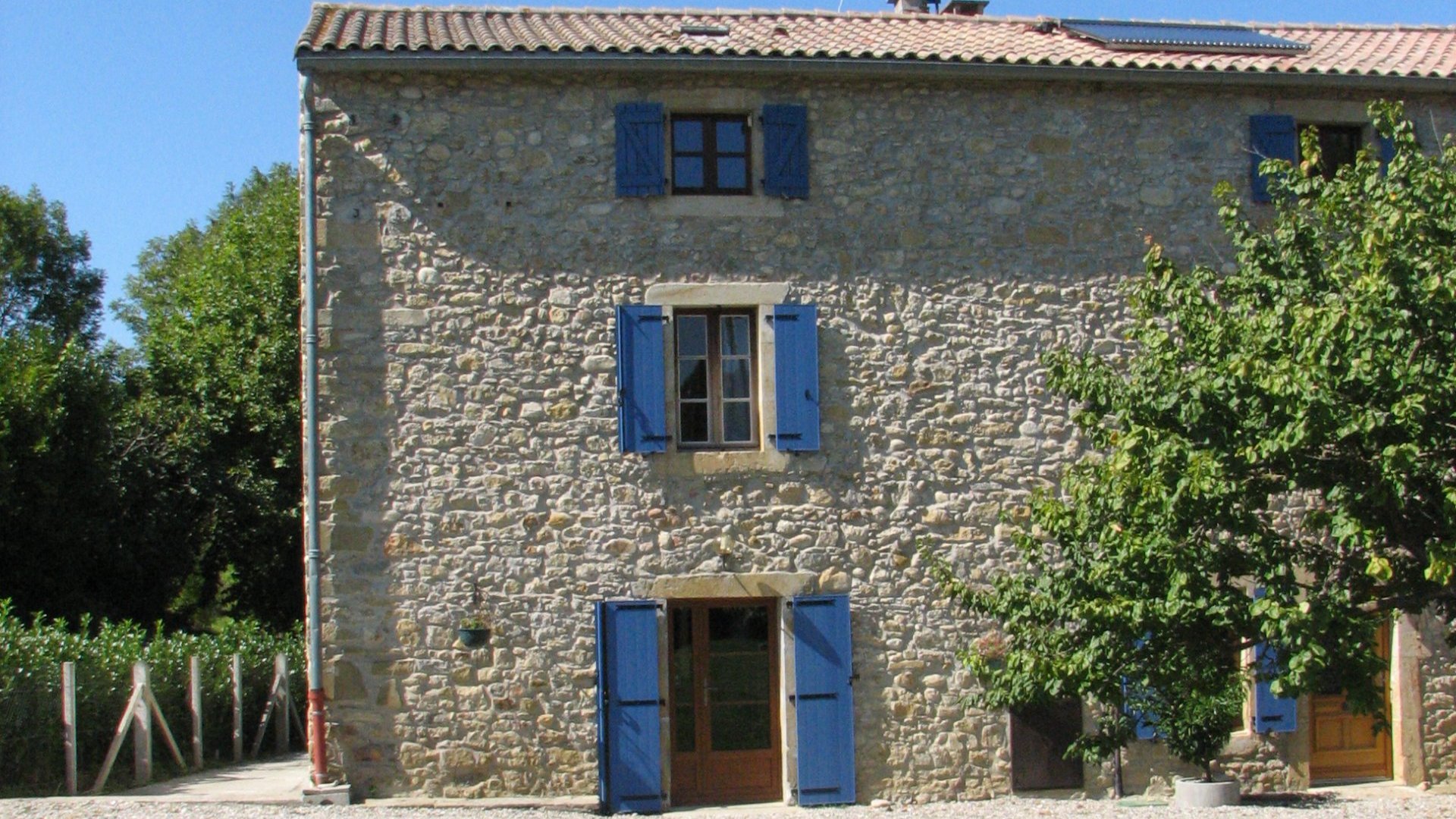
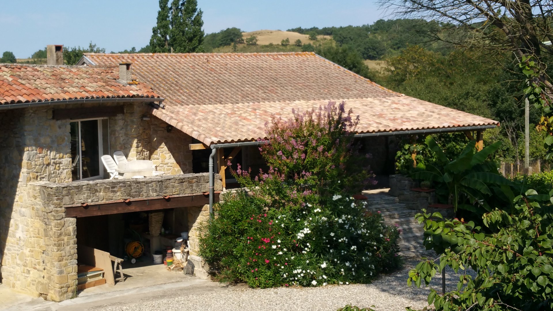
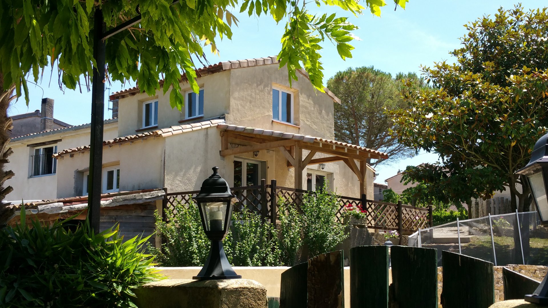
Family-run gîte complex in the Pyrénées near Carcassonne and Mirepoix
Tap or click on each title
to view the page.
In the foothills of the Pyrénées you are literally immersed in a natural paradise. There are over 17,000km of marked paths along, around, and up to the mountain summits reaching above 3,000m (10,000ft), and each new corner presents you with a different valley sculpted centuries ago by a long-lost glacier.
On the map above it is impossible for us to show you all the routes that we know of - there are just too many. Instead we have marked out 'areas' of walking routes, using the area names that are used by the guidebooks and below we show some of the walks in the nearest areas.
Over the years our guests have experienced the full range of mountain walking - short walks from the car, local tours 'from the door', and trips to the top of the higher peaks (Pic d'Estats and Montcalm are over 3000m!). Whatever your desire, there is definitely enough variety in the mountains to suit!
The sections below just give the briefest introduction to the walking possibilities, starting with those which are closest to us. At the end are just a small handful of other descriptions to tempt you!
The map above shows some of the loop walks that can be done from the front door of your gite and some of the flexibility you have in adding additional loops or short-cutting longer walks. There are many other routes, but if we added them to the map it becomes too 'busy' and the colours start to become very similar.
Beyond these walks, the official 'local walks' guidebook (covering the area around Mirepoix) has 18 specified routes, two of which pass our door (these are not shown above) and all of which are within 10 miles of us. These are short circuits, half day routes or longer circuits which can be sampled without even needing the car. Our village is at a height of 400 metres, and some of these routes take you up to 600m and present stunning views and vistas (for comparison, Scafell Pike in the Lake District reaches 977m and Ben Nevis in Scotland is 1344m). There are many routes which are virtually flat and can be completed by all the family, then others which are more steep and challenging for those who are more active.
The 'Olmes' area starts just South of us, and routes here generally become a bit more challenging (the highest tour goes up to Pic St Barthelemy at 2348m). The Olmes guidebook defines 23 routes, again these range from a few miles on the flat, to full day tours to the top of Pic St Barthelemy - There is something for all ages and abilities!
For those who would like to go further afield, we have nearly 50 defined routes in the Ariege, and many others that we have defined ourselves. As an example there are:
For yet more details and some examples, look at the website for walking in the Ariege, the site has full details of about 100 walks ranging from one and a half hours up to two days duration - these are more walks, different from the ones mentioned above!
The Cerdagne and the Capcir are the names given to two of the ranges of mountains East of the Ariege. With many summits above 2500m, and the Pic Carlit at 2921m, this area takes in some of the higher and more rugged tours.
To the North and east of our marked areas is the Aude department which takes in routes at lower altitudes, often among vineyards, woodland or between river gorges.
Walks in the Malepere and Lauragais area of the Aude (between Mirepoix and Fanjeaux) are in an area known as collinescathares.
Beyond this, we have details for many other defined routes and can advise on the most suitable circuit for your needs.
Here are some examples of the types of tour which are possible in our local area, but if you ask us for the type of walk you're looking for, we can recommend a route!
The most famous of the Cathar castles, Montsegur was the last stronghold of the Cathars during their final persecution, falling in March 1244. The walk begins at the car park at the foot of the rock outcrop on which the castle sits. The climb takes you up to the chateau itself at a height of 1250m, and is quite steep in places taking 30-90 minutes. The reward at the top is the ruin of the chateaux and the superb views in all directions.
This walk takes you on a full circuit of Lac de Montbel, a total of 15km taking about 4 hours. As you would expect, the walk is level all the way round, and crosses the dam at the North end of the lake as well as a number of smaller breakwaters across the many tributaries. The lake is surrounded by pine and deciduous woodland, and by the many good fishing places there are cafes serving drinks and refreshments. The walk also takes in the leisure beach and small marina on the lake, so there is the possibility for active members of the group to do the tour while others stay on the beach.
Starting at the Fontestorbes intermittent spring, this is a circular walk through the forest surrounding Belesta on the Northern slopes of the Pyrenees. The walk is a total of 15km but will take at least 5 hours as the high point is 500m above the start. The walk takes in some charming hamlets, fantastic views, and even the possibility of visiting a private cave if booked in advance. There are also options for short cutting the route using marked roads.
There is also an official guide group for our department (the Ariege), who specialise in tailoring a walk or longer ramble to your needs. More information is available on their website www.guides-ariege.com.