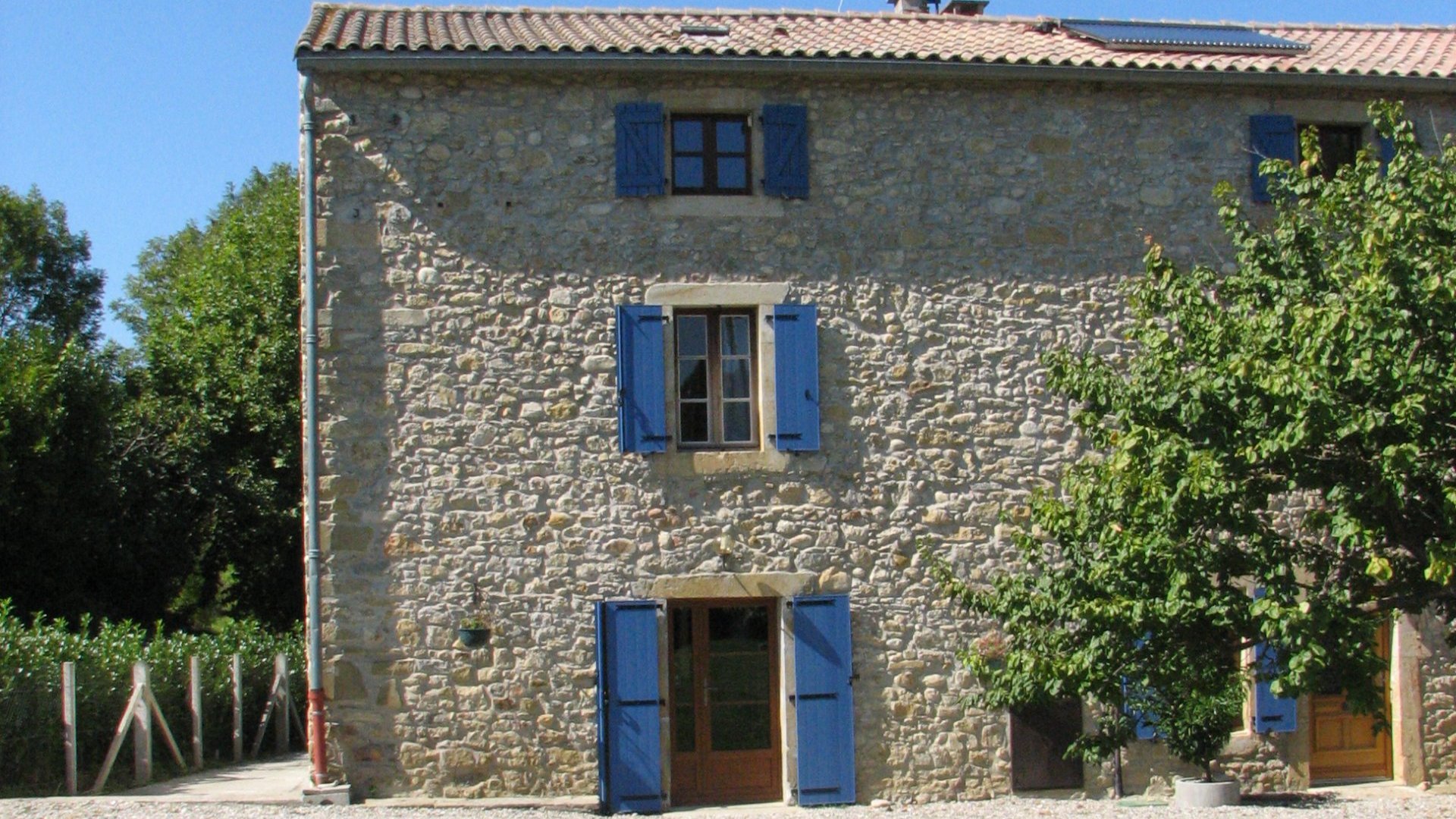
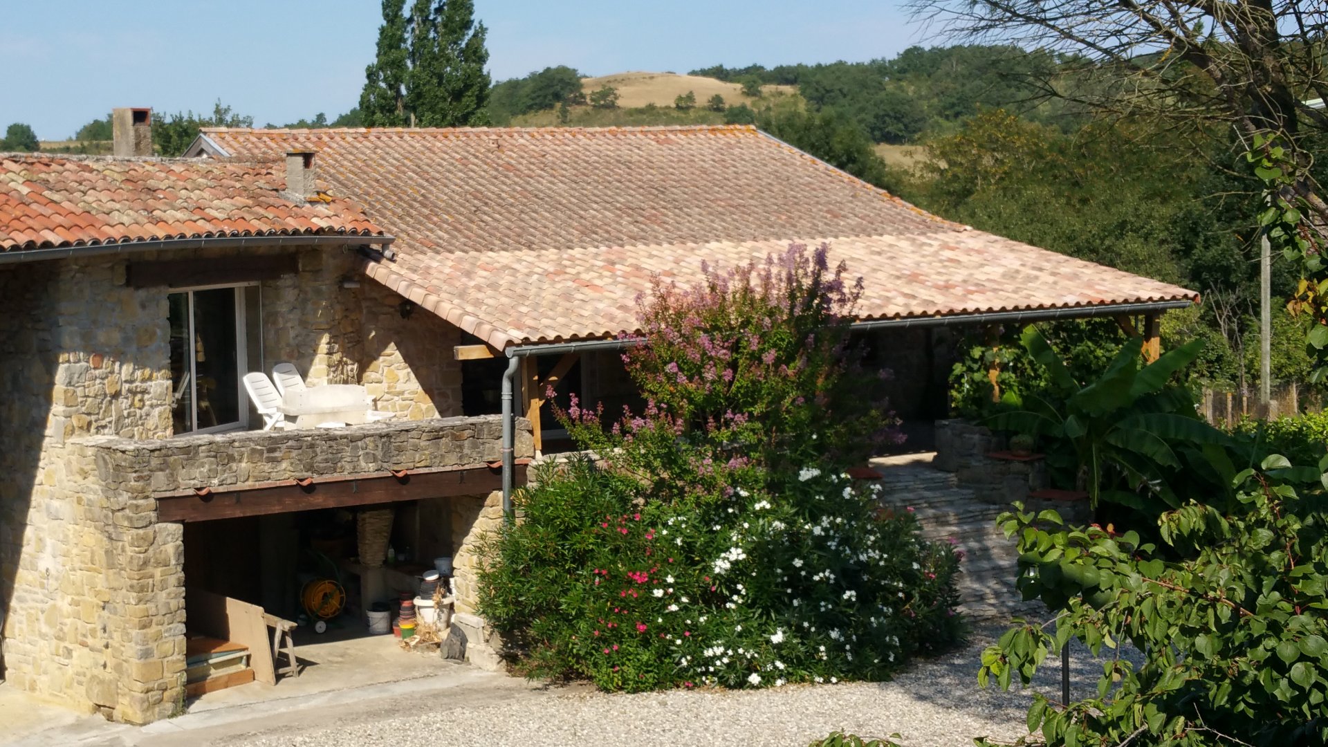
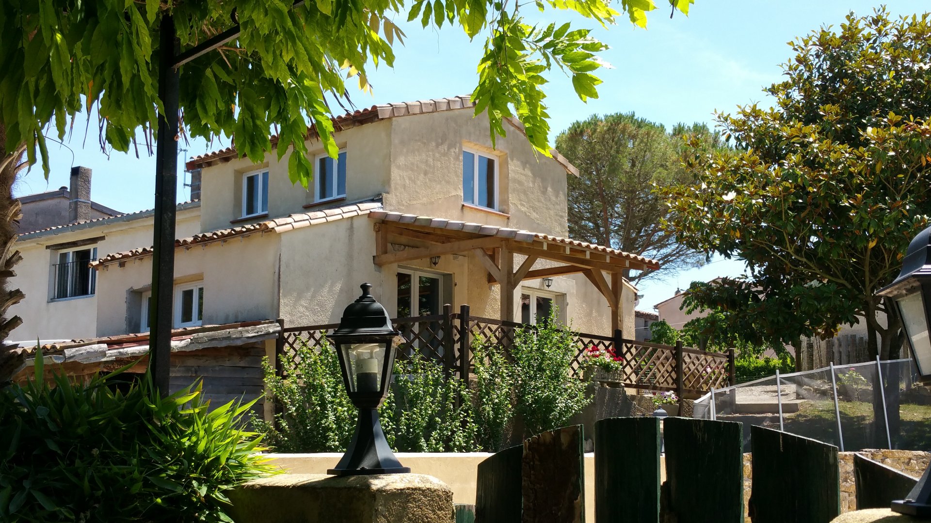
Family-run gîte complex in the Pyrénées near Carcassonne and Mirepoix
Tap or click on each title
to view the page.
Climbing in the Ariege is, as you would probably expect, vast and varied. With over 1800 separately documented routes and peaks rising to over 3,000m (10,000ft), the problem is in choosing which route and face to climb! Fortunately, the Club Alpin des Montagnards has done the hard work of finding and documenting these routes, and in organising them so that they are accessible.
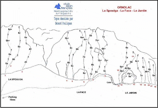
There are no step-by-step descriptions of each pitch, although the Club Alpin des Montagnards (CAF) site for the Ariege contains the sector diagrams for all 26 sectors. The site also contains some photos; directions on how to get to the bottom of the climb; who to contact for more information and some description of the equipment that you will need. Unfortunately, this site is entirely in French.
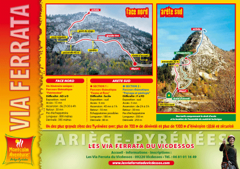
A new idea for our local area is the rock climbing park at Vicdessos - this is rock climbing in a controlled environment.
Known as a 'via ferrata' which translates to 'metalled route', this is a rock face that has been prepared with all the fixed clipping points necessary to enjoy a climb. The pitches are not too challenging and the centre is aimed at children as well as adults. Each route is 3-4 hours in duration and it is important to note that the route is unaccompanied - you will be on your own.
Full details (in French only) are available on their website Montcalm adventure.
With 17 climbing clubs in the Ariege there are many people who are willing to offer their services as a climbing guide, many completely unqualified. Rock climbing is one of those sports where you must be aware of your own skills, experience, desires and limitations, and we cannot recommend any specific guide as they may not be appropriate. However, we do recommend the website of the Bureau des guides des Pyrenees Ariegoises (French only), as this group are qualified and their site is well-maintained and regularly updated. On their site you will find contact details for guides teaching half or one day introductory courses, or to accompany you on specific routes.